
Bicycle route, crash, and user feedback to improve bicycle facilities and safety
HELP MAKE OREGON A SAFER PLACE TO RIDE!
Thank you for using ORcycle! This app will let you record your bicycle trips, display maps of your rides, and provide feedback regarding crash, safety or infrastructure issues. Your data and feedback are valuable and necessary to plan and build better bicycle facilities. Maps showing locations with safety problems or crash events will be available in January 2015. If you provide your email we will notify you when maps become available.
*********************************
Why should you use ORcycle?
*********************************
* At the moment the quality and quantity of bicycle data are not as abundant as the data collected for motor vehicles. In particular, there is scant data regarding cyclists’ routes and the comfort and safety of existing facilities. ORcycle lets you provide feedback about your rides and the bicycle infrastructure in Oregon. Users' feedback will be used to prepare maps displaying locations with safety or infrastructure issues. Read more about the app: http://www.pdx.edu/transportation-lab/ORcycle
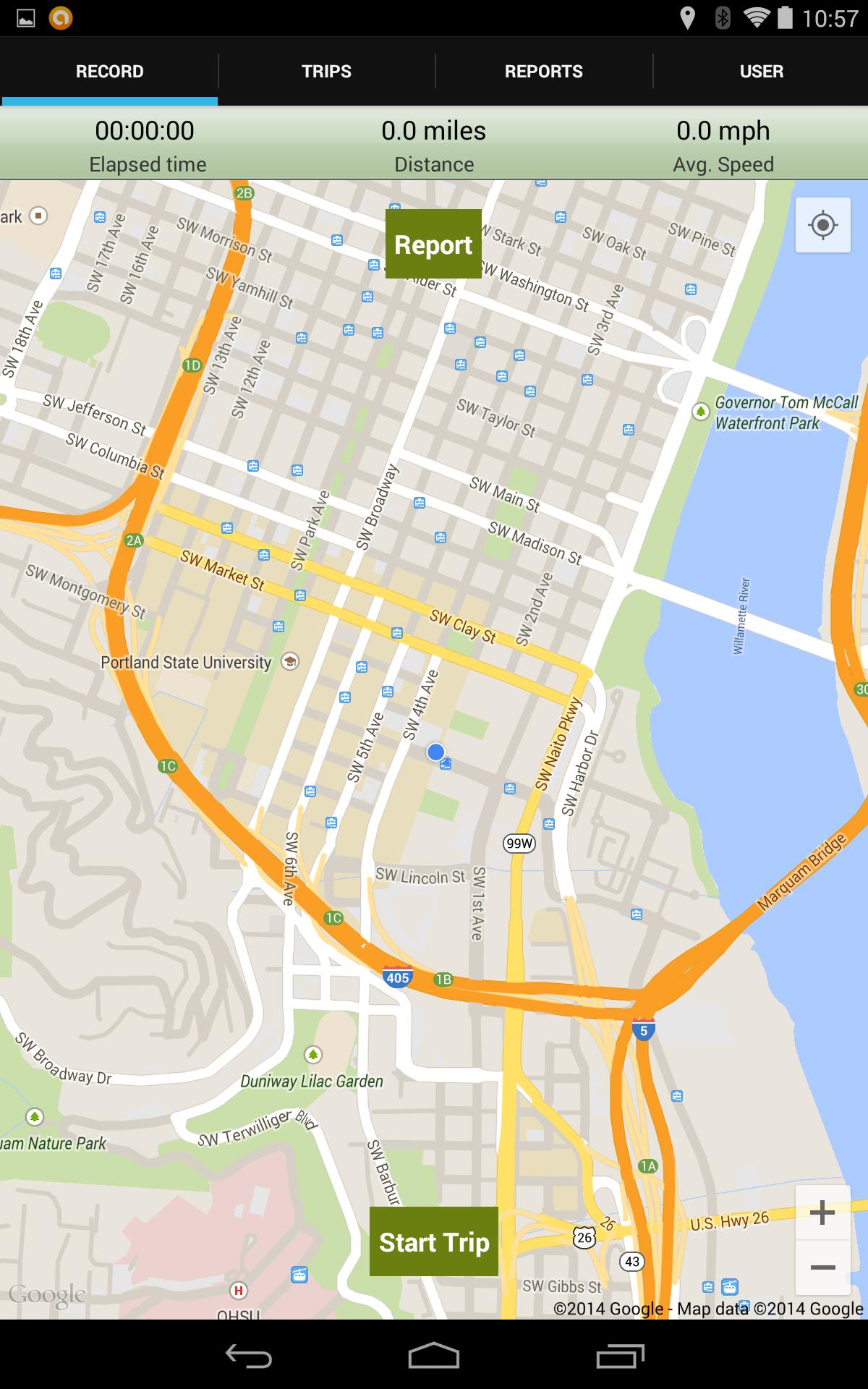
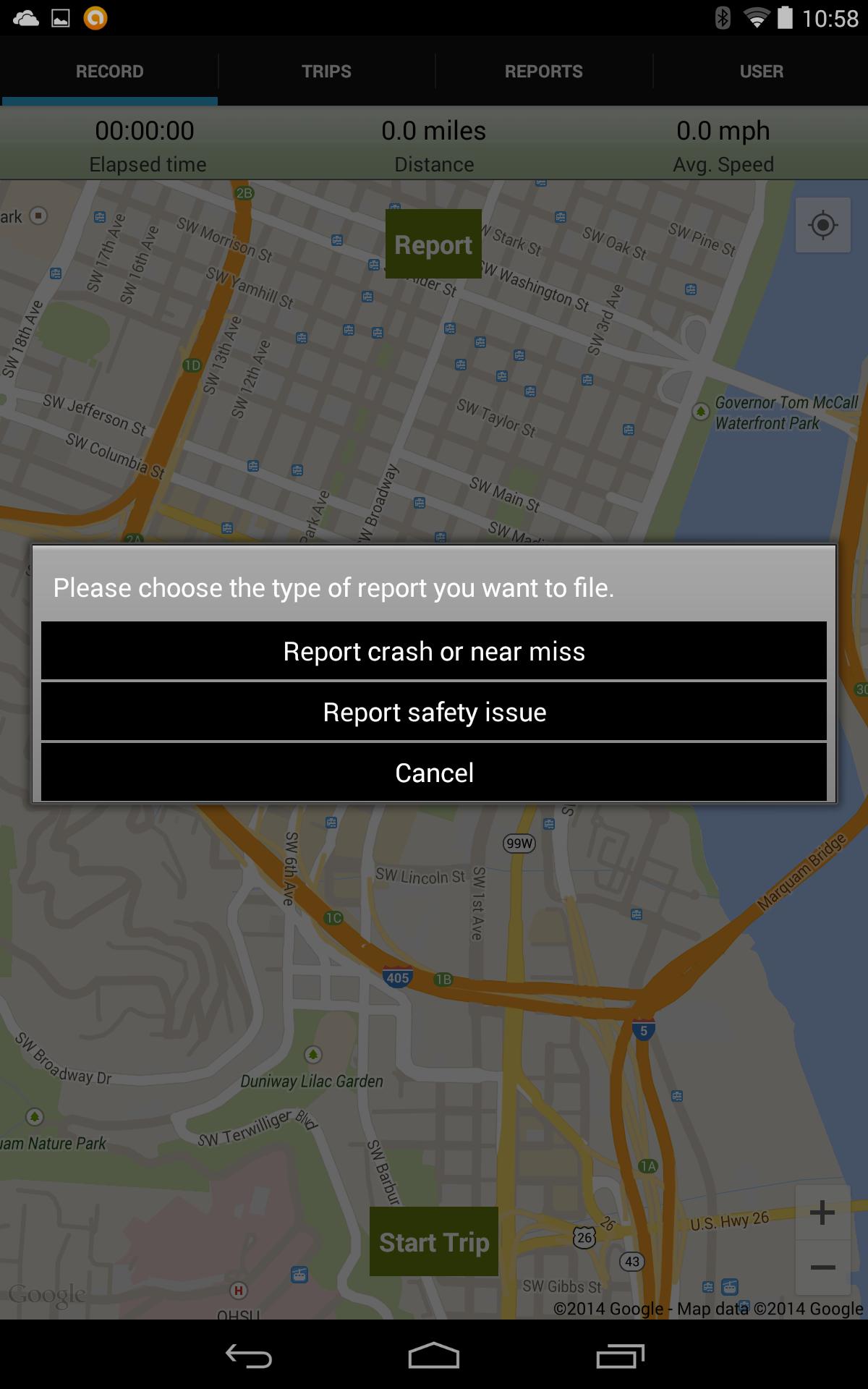
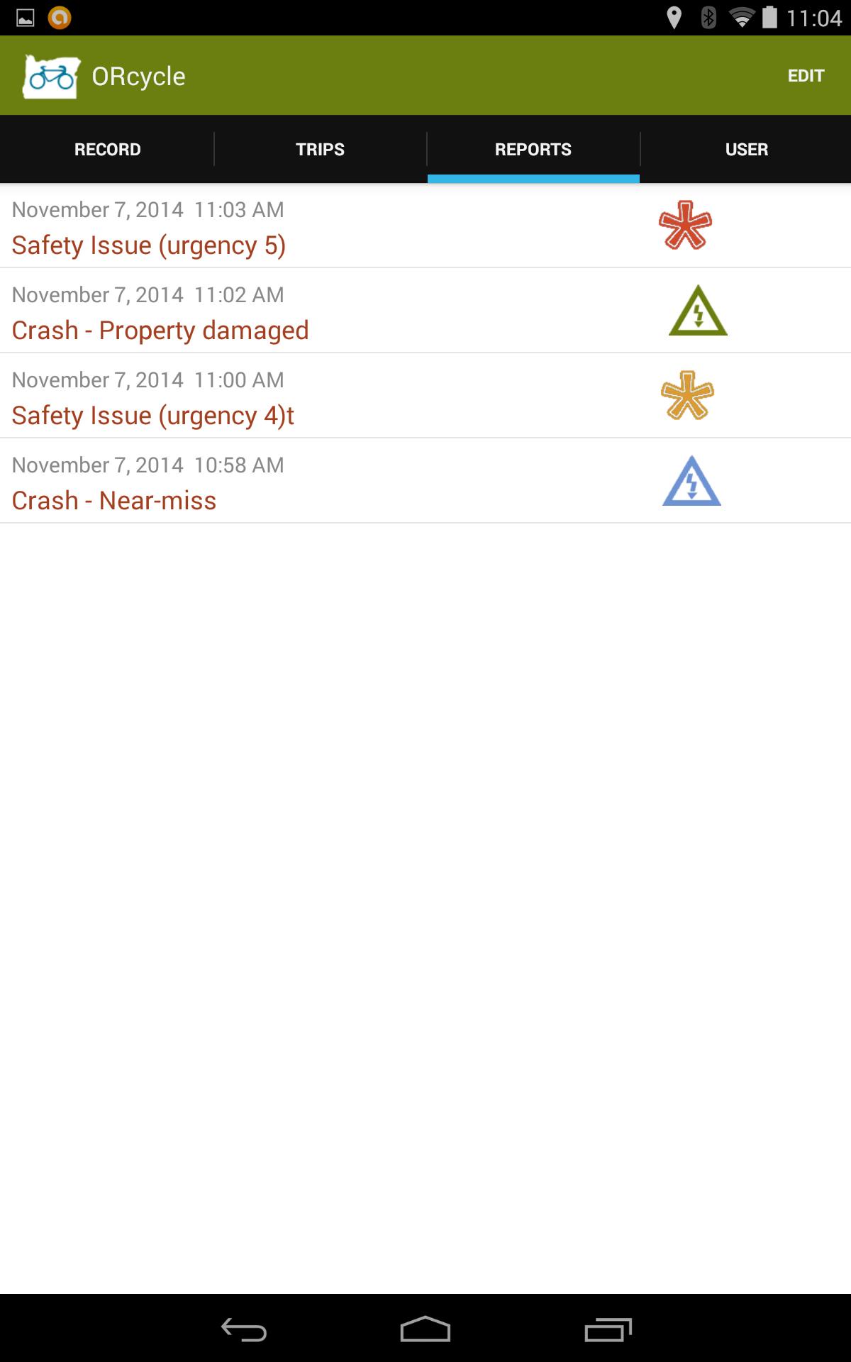
* REPORT SAFETY PROBLEMS: The user can easily report locations associated to safety problems or crash, near-miss, events by marking a precise location on a map. The user can report crash, near-miss, or safety problems from anywhere (home, office, along your trip, etc.) by pressing the "REPORT" button.
* REPORT CRASH or NEAR-MISS EVENTS: Non-fatal crashes are significantly under-reported, your feedback is crucial to better understand the frequency of crashes and the location of hazardous intersections, streets, or routes !
* REPORT TRIPS COMFORT LEVEL: by pressing the "START/FINISH" buttons before/after a trip the user can easily report trips and evaluate their comfort level. A few questions after a trip will let the user evaluate the comfort, safety and convenience of the route used.
------------------------------------------------
* What kind of data can be submitted?
The app lets you record rides using the GPS on your smartphone and at the end of the ride will ask a couple of questions related to the trip characteristics, comfort and safety. The user can also submit data related to locations with crash, safety or infrastructure issues; the user can upload a photograph of the issue or location and answer a couple of question about the type and severity of the problem. The app will also ask (one time) a couple of broad questions about the user and their biking habits.
* ORcycle is a joint project between the Transportation Technology and People (TTP) lab at Portland State University and the Oregon Department of Transportation (ODOT). Oregon is the first state DOT utilizing smartphones to collect cyclists’ data. This app is the first to focus on cyclists’ evaluation of their routes and on safety data.
NOTE: Use this app to report ONLY non-emergency safety or infrastructure issues. For your own safety do not interact with the app while riding.
NOTE: Please do note that ORcycle reporting is not a substitute for reporting to the agency that has jurisdiction over the road, street, or bicycle facility, read more about reporting here http://www.pdx.edu/transportation-lab/reporting-road-hazards.
NOTE: Continued use of GPS running in the background can dramatically decrease battery life. GPS data collection takes place only when the user presses the “START" trip button until the user presses the “FINISH" trip button. To avoid unnecessary battery usage and to improve the quality of the data collected please remember to press “FINISH" at the end of your journey.
© 2015 PSU TTP-Lab. All rights reserved.
 Download